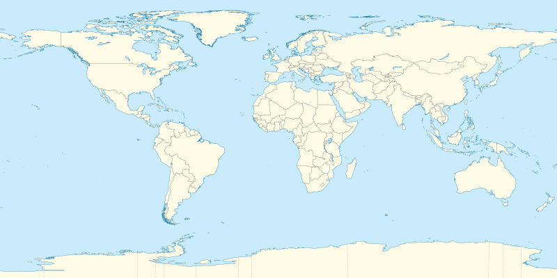
File:World location map (equirectangular 180).svg

Size of this PNG preview of this SVG file: 800 × 400 pixels. Waxyaabaha kale xalinta: 320 × 160 pixels | 640 × 320 pixels | 1,024 × 512 pixels | 1,280 × 640 pixels | 2,560 × 1,279 pixels | 2,521 × 1,260 pixels.
Faylka asalka ah (SVG file, nominally 2,521 × 1,260 pixels, file size: 4.19 MB)
.svg)
Qoraal kooban
| Sharaxaad |
Deutsch: Positionskarte der Welt. Plattkarte von 180° Ost bis 180° West und von 90° Nord bis 90° Süd
English: Location map of the world. Equirectangular projection from 180°E to 180°W and from 90°S to 90°N |
| Taariikhda | |
| Xigasho |
Shaqadayda This SVG _?_ includes elements that have been taken or adapted from this _?_: |
| Qoraa |
TUBS |
| Other versions | Derivative works of this file: Weltumrundung Elly Beinhorn 1932.png |
| SVG genesis | This oversized W3C-invalid world map was created with Adobe Illustrator by TUBS. |
Laysinka
I, the copyright holder of this work, hereby publish it under the following licenses:
This file is licensed under the Creative Commons Attribution-Share Alike 3.0 Unported license.
- Waad fasaxantahay:
- la wadaagid – koobi gareenta, qaybinta iyo gudbinta shaqada
- to remix – in shaqada la waafajiyo
- Shuruudaha soo socda:
- Astaan – You must give appropriate credit, provide a link to the license, and indicate if changes were made. You may do so in any reasonable manner, but not in any way that suggests the licensor endorses you or your use.
- si isku mid la wadaag – If you remix, transform, or build upon the material, you must distribute your contributions under the same or compatible license as the original.

|
Permission is granted to copy, distribute and/or modify this document under the terms of the GNU Free Documentation License, Version 1.2 or any later version published by the Free Software Foundation; with no Invariant Sections, no Front-Cover Texts, and no Back-Cover Texts. A copy of the license is included in the section entitled GNU Free Documentation License. |
You may select the license of your choice.

|
I'd greatly appreciate, that you attribute this media file to Wikimedia Commons, if used outside Wikipedia or Commons. For use in publications such as books, newspapers, blogs, websites, please insert here the following line:
|
.svg)
Taariikhda faylka
Riix taariikhda/waqtiga si aad u argto faylka sida oo ahaa markiisa hore.
| Taariikhda/Waqtiga | Sawir yar | Cabirka | Isticmaale | Ka hadalka | |
|---|---|---|---|---|---|
| kan hadda | 19:31, 9 Sebteembar 2011 | | 2,521 × 1,260 (4.19 MB) | TUBS | {{Information |Description=={{de|Positionskarte der Welt. Plattkarte von 180° Ost bis 180° West und von 90° Nord bis 90° Süd }} {{en|Location map of the world. [[:en:Equirectangular projection|Equirectan |
Faylka lagu isticmaalay
waxyaabaha soo socda ee 99 boggag ayaa isticmaalaya faylkaan:
- Abaaley
- Abu Dabi
- Adana
- Ankara
- Antalya
- Awdal
- Baabiyloon
- Bakool
- Banaadir
- Bardhere
- Bari (Gobol)
- Bariga Turkistan
- Beijing
- Belgaraad
- Beyruut
- Bloomington, Minnesota
- Bogota
- Brussels
- Bursa
- Bursaalax
- Buur-Cukur
- Buweynos ayres
- Caynaba
- Ceelwaaq
- Chanthaburi
- Dallas
- Denver
- Dhahar
- Door County, Wisconsin
- Dooxa
- Dubay
- Eskişehir
- Furaat
- Galguduud
- Gaziantep
- Gebze
- Gedo
- Gobolka Carta
- Grand Bassa County
- Grand Cape Mount County
- Hiiraan
- Hofors
- Honolulu, Hawaii
- Hudson, Koonfur Dakota
- Jasiirada Rodos
- Jilib
- Johannesburg
- Jubbada Hoose
- Kayseri
- Konya
- Kuwala Lumbuur
- Lusaka
- Luwanda
- Madrid
- Makka
- Mandiraja, Banjarnegara
- Maroodi Jeex
- Maryland County
- Masaajid Sultan Axmed
- Mersin
- Montserrado County
- Moosoro
- Mudug
- NASA
- Ogaden
- Qaahiro
- Qorilugud
- Qudus
- Raas Caseyr
- Saaxil
- Samsun
- San Fransisko
- Sanaag
- Seyul
- Shabeellaha Dhexe
- Shabeellaha Hoose
- Sind
- Soomaali Galbeed
- Southern Norway
- Taleex
- Tigris
- Togdheer
- Trabzon
- Troms
- Tunis
- Türk Telekom Arena
- Wadaamogoo
- Waroodka Baki
- Waroodka Boorama
- Waroodka Lughaya
- Waroodka Saylac
- Woqooyi Bari, Kiinya
- Xarfo
- Xudun (degmo)
- Yaafa
- Yalova
- Yawunde
- İzmir
- İzmit
isticmaalka faylka aduunka
Wikisyada kale ee soosocda ayaa adeegsanaya faylka:
- Ku isticmaal af.wikipedia.org
- Etna
- Groep van 20
- Teide
- Vesuvius
- Mauna Loa
- Nyiragongo
- Sjabloon:Liggingkaart Aarde
- Sjabloon:Dekadevulkane-kaart
- Dekadevulkaan
- Taalvulkaan
- Korjakski
- Awatsjinski
- Sjabloon:Dekadevulkane-kaart/doc
- Ulawun
- Merapi
- Unzen
- Santorini-kaldera
- Sakurajima
- Santa María (vulkaan)
- Rainier (berg)
- Galeras
- Volcán de Colima
- Ku isticmaal als.wikipedia.org
- Vorlage:Positionskarte Polen
- Vorlage:Positionskarte Schweden
- Vorlage:Positionskarte Frankreich
- Vorlage:Positionskarte/Info
- Vorlage:Positionskarte Deutschland
- Vorlage:Positionskarte Liechtenstein
- Vorlage:Positionskarte Schweiz
- Vorlage:Positionskarte Deutschland Baden-Württemberg
- Vorlage:Positionskarte Italien
- Vorlage:Positionskarte Ungarn
- Vorlage:Positionskarte Deutschland Bayern
- Vorlage:Positionskarte Österreich
- Vorlage:Positionskarte Albanien
- Vorlage:Positionskarte Kroatien
- Vorlage:Positionskarte Israel
- Vorlage:Positionskarte Ukraine
- Vorlage:Positionskarte Kenia
- Vorlage:Positionskarte Nigeria
- Vorlage:Positionskarte Belgien
- Vorlage:Positionskarte Erde
- Vorlage:Positionskarte Papua-Neuguinea
- Vorlage:Positionskarte Schweiz Aargau
- Vorlage:Positionskarte Estland
- Vorlage:Positionskarte Ägypten
- Vorlage:Positionskarte Bahrain
- Vorlage:Positionskarte Elfenbeinküste
- Vorlage:Positionskarte Türkei
- Vorlage:Positionskarte Griechenland
View more global usage of this file.
.svg)
.svg)