File:Timor Leste (orthographic projection).svg

Size of this PNG preview of this SVG file: 600 × 600 pixels. Waxyaabaha kale xalinta: 240 × 240 pixels | 480 × 480 pixels | 768 × 768 pixels | 1,024 × 1,024 pixels | 2,048 × 2,048 pixels | 687 × 687 pixels.
Faylka asalka ah (SVG file, nominally 687 × 687 pixels, file size: 514 KB)
.svg)
Qoraal kooban
| Sharaxaad |
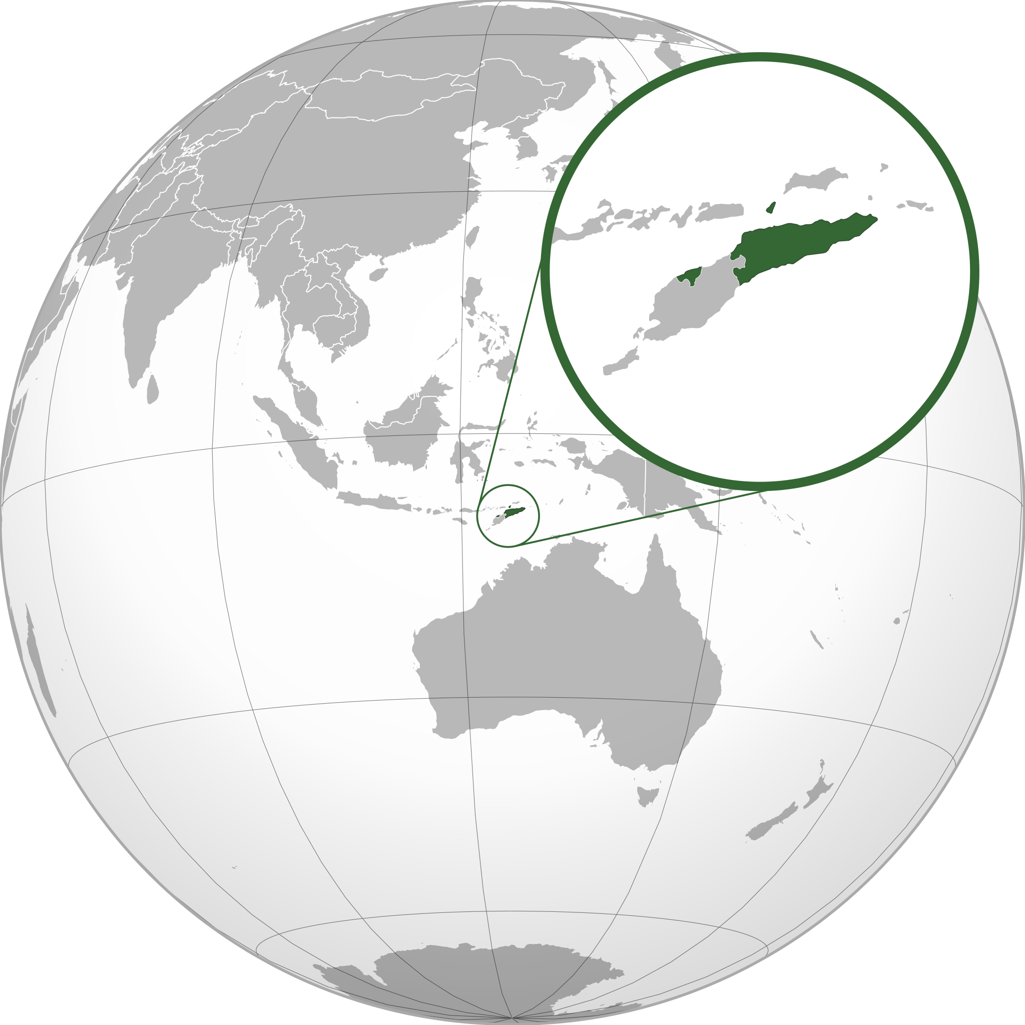
Español: Mapa de Timor Oriental |
| Taariikhda | 2 Sebteembar 2010 (upload date) |
| Xigasho | http://upload.wikimedia.org/wikipedia/commons/0/05/Indonesia_%28orthographic_projection%29.svg |
| Qoraa | Alvaro1984 18 |
| Ogolaasho (Dib u isticmaalka faylkaan) |
Mirar licencia |
| Other versions | Timor Leste (orthographic projection) high detail.png, Osttimor-Pos.png |
Laysinka
I, the copyright holder of this work, hereby publish it under the following licenses:

|
Permission is granted to copy, distribute and/or modify this document under the terms of the GNU Free Documentation License, Version 1.2 or any later version published by the Free Software Foundation; with no Invariant Sections, no Front-Cover Texts, and no Back-Cover Texts. A copy of the license is included in the section entitled GNU Free Documentation License. |
This file is licensed under the Creative Commons Attribution 3.0 Unported license.
- Waad fasaxantahay:
- la wadaagid – koobi gareenta, qaybinta iyo gudbinta shaqada
- to remix – in shaqada la waafajiyo
- Shuruudaha soo socda:
- Astaan – You must give appropriate credit, provide a link to the license, and indicate if changes were made. You may do so in any reasonable manner, but not in any way that suggests the licensor endorses you or your use.
You may select the license of your choice.
Taariikhda faylka
Riix taariikhda/waqtiga si aad u argto faylka sida oo ahaa markiisa hore.
| Taariikhda/Waqtiga | Sawir yar | Cabirka | Isticmaale | Ka hadalka | |
|---|---|---|---|---|---|
| kan hadda | 12:37, 17 Diseembar 2021 | | 687 × 687 (514 KB) | Sette-quattro | newly generated image, higher geographical resolution |
| 18:24, 2 Sebteembar 2010 |  | 550 × 551 (425 KB) | Alvaro1984 18 | {{Information |Description={{es|1=Mapa de Timor Oriental}} |Source=http://upload.wikimedia.org/wikipedia/commons/0/05/Indonesia_%28orthographic_projection%29.svg |Author=Alvaro1984 18 |Date=2/9/2010 |Permission=Mirar licencia |other |
Faylka lagu isticmaalay
waxyaabaha soo socda ee bog ayaa adeegsanaya faylkaan:
isticmaalka faylka aduunka
Wikisyada kale ee soosocda ayaa adeegsanaya faylka:
- Ku isticmaal ami.wikipedia.org
- Ku isticmaal ar.wikipedia.org
- Ku isticmaal arz.wikipedia.org
- Ku isticmaal ast.wikipedia.org
- Ku isticmaal azb.wikipedia.org
- Ku isticmaal az.wikipedia.org
- Ku isticmaal ban.wikipedia.org
- Ku isticmaal bg.wikipedia.org
- Ku isticmaal bn.wikipedia.org
- Ku isticmaal bug.wikipedia.org
- Ku isticmaal ca.wikipedia.org
- Ku isticmaal cdo.wikipedia.org
- Ku isticmaal ce.wikipedia.org
- Ku isticmaal cs.wikipedia.org
- Ku isticmaal de.wikipedia.org
- Ku isticmaal de.wikivoyage.org
- Ku isticmaal diq.wikipedia.org
- Ku isticmaal el.wikipedia.org
- Ku isticmaal el.wiktionary.org
- Ku isticmaal en.wikipedia.org
- Ku isticmaal es.wikipedia.org
- Ku isticmaal eu.wikipedia.org
- Ku isticmaal fa.wikipedia.org
- Ku isticmaal fi.wikivoyage.org
- Ku isticmaal fr.wikipedia.org
- Ku isticmaal fr.wikinews.org
- Ku isticmaal ga.wikipedia.org
- Ku isticmaal gcr.wikipedia.org
- Ku isticmaal gl.wikipedia.org
- Ku isticmaal gn.wikipedia.org
- Ku isticmaal hak.wikipedia.org
- Ku isticmaal ha.wikipedia.org
- Ku isticmaal hi.wikipedia.org
- Ku isticmaal hy.wikipedia.org
- Ku isticmaal ia.wikipedia.org
- Ku isticmaal id.wikipedia.org
View more global usage of this file.
.svg)
.svg)