File:Tchernobyl sur une carte d'Europe.png
Cabirka muuqaalkaan: 737 × 600 pixels. Waxyaabaha kale xalinta: 295 × 240 pixels | 590 × 480 pixels | 944 × 768 pixels | 1,259 × 1,024 pixels | 1,475 × 1,200 pixels.
Faylka asalka ah (1,475 × 1,200 pixels, weyninka faylka : 1.2 MB, nuuca MIME: image/png)
Qoraal kooban
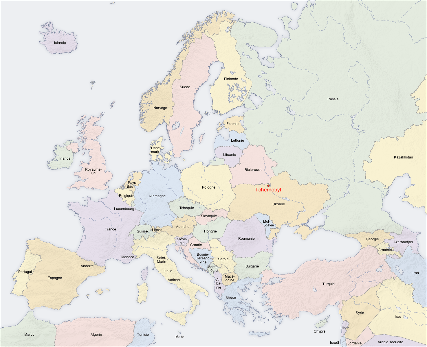
Situation de Tchernobyl sur une carte d'Europe.
- Auteur de la modif : historicair 18:24, 21 August 2006 (UTC)
- Source: carte créée par San Jose, à partir des Generic Mapping Tools archive copy at the Wayback Machine et de ETOPO2 archive copy at the Wayback Machine
- Autres versions: carte en anglais, carte en allemand, carte sans texte
Laysinka
The map has been created with the Generic Mapping Tools: https://www.generic-mapping-tools.org/ using one or more of these public-domain datasets for the relief:
|

|
Permission is granted to copy, distribute and/or modify this document under the terms of the GNU Free Documentation License, Version 1.2 or any later version published by the Free Software Foundation; with no Invariant Sections, no Front-Cover Texts, and no Back-Cover Texts. A copy of the license is included in the section entitled GNU Free Documentation License. |
| This file is licensed under the Creative Commons Attribution-Share Alike 3.0 Unported license. | ||
| ||
| This licensing tag was added to this file as part of the GFDL licensing update. |
Taariikhda faylka
Riix taariikhda/waqtiga si aad u argto faylka sida oo ahaa markiisa hore.
| Taariikhda/Waqtiga | Sawir yar | Cabirka | Isticmaale | Ka hadalka | |
|---|---|---|---|---|---|
| kan hadda | 15:38, 8 Agoosto 2010 | | 1,475 × 1,200 (1.2 MB) | Historicair | Bad place, Tchernobyl is more on north-west. Now corrected. |
| 22:12, 29 Agoosto 2006 |  | 1,475 × 1,200 (1.04 MB) | Ripounet | ||
| 18:24, 21 Agoosto 2006 |  | 1,475 × 1,200 (1.05 MB) | Historicair | Situation de Tchernobyl sur une carte d'Europe. * Auteur de la modif : ~~~~ * Source: carte créée par San Jose, à partir des [http://gmt.soest.hawaii.edu/ Generic Mapping Tools] et de [http://dss.ucar.edu/datasets/ds759.3/ ETOPO2] * |
Faylka lagu isticmaalay
waxyaabaha soo socda ee bog ayaa adeegsanaya faylkaan:
isticmaalka faylka aduunka
Wikisyada kale ee soosocda ayaa adeegsanaya faylka:
- Ku isticmaal de.wikiversity.org
- Ku isticmaal fr.wikipedia.org
- Ku isticmaal oc.wikipedia.org