File:Métropole de Lyon map-blank.svg

Size of this PNG preview of this SVG file: 450 × 600 pixels. Waxyaabaha kale xalinta: 180 × 240 pixels | 360 × 480 pixels | 576 × 768 pixels | 768 × 1,024 pixels | 1,536 × 2,048 pixels | 1,423 × 1,897 pixels.
Faylka asalka ah (SVG file, nominally 1,423 × 1,897 pixels, file size: 906 KB)
Qoraal kooban
| Sharaxaad |
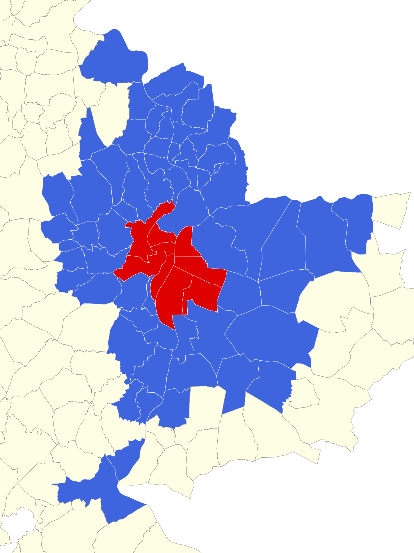
English: Map of Urban Community of Lyon at 2011 january, first. Rhône, France. Français : Carte des communes du Grand Lyon au 1er janvier 2011. Rhône, France. |
||
| Taariikhda | |||
| Xigasho |
|
||
| Qoraa | |||
| Other versions |
Derivative works of this file: Géolocalisation Grand Lyon 2011.png
| ||
| Attribution (required by the license) | © Sémhur / Wikimedia Commons / | ||
| SVG | W3C-validity not checked.
|
||
| Graphic Lab |

| Camera location | | View this and other nearby images on: OpenStreetMap |
|---|
Laysinka
I, the copyright holder of this work, hereby publish it under the following licenses:
| Copyleft: This work of art is free; you can redistribute it and/or modify it according to terms of the Free Art License. You will find a specimen of this license on the Copyleft Attitude site as well as on other sites. |
This file is licensed under the Creative Commons Attribution-Share Alike 4.0 International, 3.0 Unported, 2.5 Generic, 2.0 Generic and 1.0 Generic license.
- Waad fasaxantahay:
- la wadaagid – koobi gareenta, qaybinta iyo gudbinta shaqada
- to remix – in shaqada la waafajiyo
- Shuruudaha soo socda:
- Astaan – You must give appropriate credit, provide a link to the license, and indicate if changes were made. You may do so in any reasonable manner, but not in any way that suggests the licensor endorses you or your use.
- si isku mid la wadaag – If you remix, transform, or build upon the material, you must distribute your contributions under the same or compatible license as the original.
You may select the license of your choice.
Taariikhda faylka
Riix taariikhda/waqtiga si aad u argto faylka sida oo ahaa markiisa hore.
| Taariikhda/Waqtiga | Sawir yar | Cabirka | Isticmaale | Ka hadalka | |
|---|---|---|---|---|---|
| kan hadda | 14:36, 2 Juun 2014 | | 1,423 × 1,897 (906 KB) | Sémhur | Ajout de la commune de Quincieux |
| 09:59, 26 Febraayo 2011 |  | 512 × 682 (894 KB) | Sémhur | == {{int:filedesc}} == {{Information |Description={{Multilingual description |en= Map of Urban Community of Lyon, Rhône, France. |fr= Carte des communes du Grand Lyon, Rhône, France. }} |Source= * [http |
Faylka lagu isticmaalay
Ma jiraan bogag adeegsanaya faylkaan.
isticmaalka faylka aduunka
Wikisyada kale ee soosocda ayaa adeegsanaya faylka:
- Ku isticmaal ast.wikipedia.org
- Ku isticmaal bn.wikipedia.org
- Ku isticmaal ca.wikipedia.org
- Ku isticmaal en.wikipedia.org
- Ku isticmaal es.wikipedia.org
- Ku isticmaal fr.wikipedia.org
- Portail:Ain
- Portail:Ain/Portails connexes
- Wikipédia:Crédits graphiques/Icônes de portails
- Wikipédia:Atelier graphique/Cartes/Archives/février 2011
- Wikipédia:Atelier graphique/Cartes/Archives/avril 2011
- Projet:Métropole de Lyon/Le bouchon/2011
- Portail:Côtière
- Portail:Côtière/Voisinage
- Wikipédia:Atelier graphique/Cartes/Archives/juin 2014
- Liste des communes de la métropole de Lyon
- Ku isticmaal mk.wikipedia.org
- Ku isticmaal pl.wiktionary.org
- Ku isticmaal sco.wikipedia.org
- Ku isticmaal simple.wikipedia.org
- Ku isticmaal wuu.wikipedia.org
- Ku isticmaal zh.wikipedia.org