File:Location jubaland.png

Cabirka muuqaalkaan: 673 × 600 pixels. Waxyaabaha kale xalinta: 269 × 240 pixels | 539 × 480 pixels | 797 × 710 pixels.
Faylka asalka ah (797 × 710 pixels, weyninka faylka : 109 KB, nuuca MIME: image/png)

|
This map image could be re-created using vector graphics as an SVG file. This has several advantages; see Commons:Media for cleanup for more information. If an SVG form of this image is available, please upload it and afterwards replace this template with
{{vector version available|new image name}}.
It is recommended to name the SVG file “Location jubaland.svg”—then the template Vector version available (or Vva) does not need the new image name parameter. |
Qoraal kooban
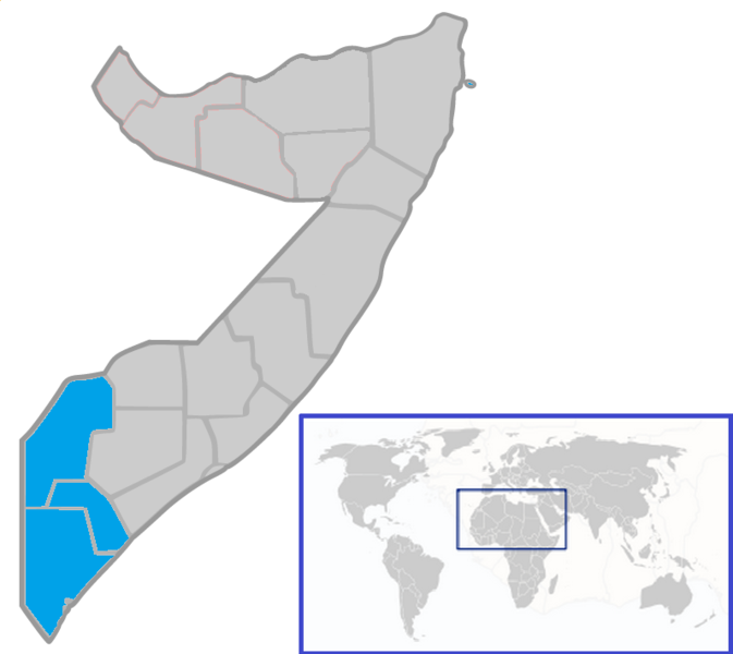
| Sharaxaad | Map of Jubaland State of Somalia |
| Taariikhda | |
| Xigasho | Shaqadayda |
| Qoraa | Ingoman |
Laysinka
| I, the copyright holder of this work, release this work into the public domain. This applies worldwide. In some countries this may not be legally possible; if so: I grant anyone the right to use this work for any purpose, without any conditions, unless such conditions are required by law. |
Taariikhda faylka
Riix taariikhda/waqtiga si aad u argto faylka sida oo ahaa markiisa hore.
| Taariikhda/Waqtiga | Sawir yar | Cabirka | Isticmaale | Ka hadalka | |
|---|---|---|---|---|---|
| kan hadda | 23:16, 25 Juun 2015 | | 797 × 710 (109 KB) | AcidSnow | Updated map |
| 04:21, 2 Oktoobar 2007 |  | 250 × 324 (8 KB) | Ingoman | ||
| 03:42, 2 Oktoobar 2007 |  | 250 × 324 (9 KB) | Ingoman | {{Information |Description=Map of Jubaland State of Somalia |Source=self-made |Date=October 1st 2007 |Author= Ingoman }} |
Faylka lagu isticmaalay
waxyaabaha soo socda ee bog ayaa adeegsanaya faylkaan:
isticmaalka faylka aduunka
Wikisyada kale ee soosocda ayaa adeegsanaya faylka:
- Ku isticmaal af.wikipedia.org
- Ku isticmaal ar.wikipedia.org
- Ku isticmaal ba.wikipedia.org
- Ku isticmaal ca.wikipedia.org
- Ku isticmaal de.wikipedia.org
- Ku isticmaal en.wikipedia.org
- Ku isticmaal et.wikipedia.org
- Ku isticmaal fa.wikipedia.org
- Ku isticmaal fi.wikipedia.org
- Ku isticmaal fr.wikipedia.org
- Ku isticmaal fr.wiktionary.org
- Ku isticmaal he.wikipedia.org
- Ku isticmaal hu.wikipedia.org
- Ku isticmaal it.wikipedia.org
- Ku isticmaal ja.wikipedia.org
- Ku isticmaal ko.wikipedia.org
- Ku isticmaal lt.wikipedia.org
- Ku isticmaal nl.wikipedia.org
- Ku isticmaal pl.wikipedia.org
- Ku isticmaal pt.wikipedia.org
- Ku isticmaal ru.wikipedia.org
- Ku isticmaal sr.wikipedia.org
- Ku isticmaal sv.wikipedia.org
- Ku isticmaal uk.wikipedia.org
- Ku isticmaal ur.wikipedia.org
- Ku isticmaal vi.wikipedia.org
- Ku isticmaal www.wikidata.org
- Ku isticmaal zu.wikipedia.org