File:Hennepin County Minnesota Incorporated and Unincorporated areas Bloomington Highlighted.svg

Size of this PNG preview of this SVG file: 800 × 485 pixels. Waxyaabaha kale xalinta: 320 × 194 pixels | 640 × 388 pixels | 1,024 × 621 pixels | 1,280 × 776 pixels | 2,560 × 1,552 pixels | 1,310 × 794 pixels.
Faylka asalka ah (SVG file, nominally 1,310 × 794 pixels, file size: 1.19 MB)
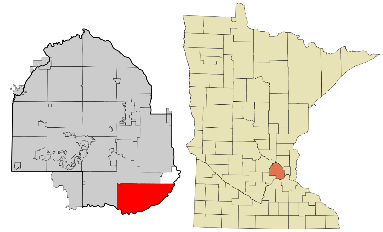
| Sharaxaad | This map shows the incorporated and unincorporated areas in Hennepin County, Minnesota, highlighting Bloomington in red. It was created with a custom script with US Census Bureau data and modified with Inkscape. |
| Taariikhda | |
| Xigasho | My own work, based on public domain information. Based on similar map concepts by Ixnayonthetimmay |
| Qoraa | Arkyan |
| SVG genesis |
I, the copyright holder of this work, hereby publish it under the following licenses:

|
Permission is granted to copy, distribute and/or modify this document under the terms of the GNU Free Documentation License, Version 1.2 or any later version published by the Free Software Foundation; with no Invariant Sections, no Front-Cover Texts, and no Back-Cover Texts. A copy of the license is included in the section entitled GNU Free Documentation License. |
| This file is licensed under the Creative Commons Attribution-Share Alike 3.0 Unported license. | ||
| ||
| This licensing tag was added to this file as part of the GFDL licensing update. |
This file is licensed under the Creative Commons Attribution-Share Alike 2.5 Generic, 2.0 Generic and 1.0 Generic license.
- Waad fasaxantahay:
- la wadaagid – koobi gareenta, qaybinta iyo gudbinta shaqada
- to remix – in shaqada la waafajiyo
- Shuruudaha soo socda:
- Astaan – You must give appropriate credit, provide a link to the license, and indicate if changes were made. You may do so in any reasonable manner, but not in any way that suggests the licensor endorses you or your use.
- si isku mid la wadaag – If you remix, transform, or build upon the material, you must distribute your contributions under the same or compatible license as the original.
You may select the license of your choice.
Taariikhda faylka
Riix taariikhda/waqtiga si aad u argto faylka sida oo ahaa markiisa hore.
| Taariikhda/Waqtiga | Sawir yar | Cabirka | Isticmaale | Ka hadalka | |
|---|---|---|---|---|---|
| kan hadda | 01:20, 3 Febraayo 2021 | | 1,310 × 794 (1.19 MB) | SpeedMcCool | update for 2021 |
| 18:57, 17 Oktoobar 2007 |  | 850 × 550 (205 KB) | ArkyBot~commonswiki | {{Information |Description=This map shows the incorporated and unincorporated areas in Hennepin County, Minnesota, highlighting Bloomington in red. |
Faylka lagu isticmaalay
Ma jiraan bogag adeegsanaya faylkaan.
isticmaalka faylka aduunka
Wikisyada kale ee soosocda ayaa adeegsanaya faylka:
- Ku isticmaal ar.wikipedia.org
- Ku isticmaal arz.wikipedia.org
- Ku isticmaal br.wikipedia.org
- Ku isticmaal ca.wikipedia.org
- Ku isticmaal de.wikipedia.org
- Ku isticmaal en.wikipedia.org
- Ku isticmaal es.wikipedia.org
- Ku isticmaal eu.wikipedia.org
- Ku isticmaal fa.wikipedia.org
- Ku isticmaal fi.wikipedia.org
- Ku isticmaal fr.wikipedia.org
- Ku isticmaal ga.wikipedia.org
- Ku isticmaal gd.wikipedia.org
- Ku isticmaal ht.wikipedia.org
- Ku isticmaal hu.wikipedia.org
- Ku isticmaal it.wikipedia.org
- Ku isticmaal ja.wikipedia.org
- Ku isticmaal kw.wikipedia.org
- Ku isticmaal pt.wikipedia.org
- Ku isticmaal sh.wikipedia.org
- Ku isticmaal sk.wikipedia.org
- Ku isticmaal sr.wikipedia.org
- Ku isticmaal sv.wikipedia.org
- Ku isticmaal sw.wikipedia.org
- Ku isticmaal tr.wikipedia.org
- Ku isticmaal tt.wikipedia.org
- Ku isticmaal ur.wikipedia.org
- Ku isticmaal vo.wikipedia.org
- Ku isticmaal www.wikidata.org
- Ku isticmaal zh.wikipedia.org