File:Nigeria location map.svg

Size of this PNG preview of this SVG file: 779 × 599 pixels. Waxyaabaha kale xalinta: 312 × 240 pixels | 624 × 480 pixels | 998 × 768 pixels | 1,280 × 985 pixels | 2,560 × 1,970 pixels | 954 × 734 pixels.
Faylka asalka ah (SVG file, nominally 954 × 734 pixels, file size: 442 KB)
Location of Asare, Kalambaina and
Qoraal kooban
| Sharaxaad |
Deutsch: Positionskarte von Nigeria
Quadratische Plattkarte. Geographische Begrenzung der Karte:
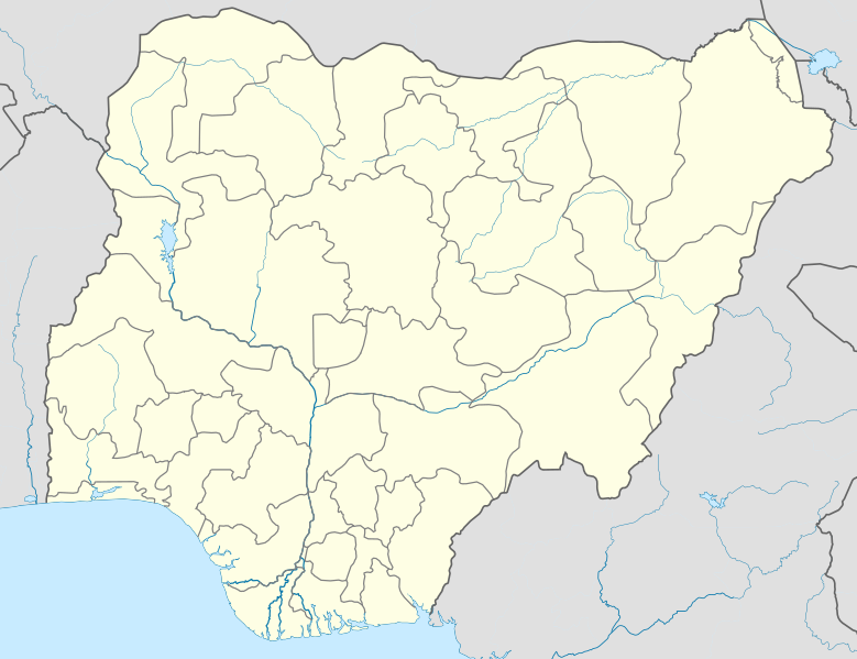
English: Location map of Nigeria
Equirectangular projection. Geographic limits of the map:
|
| Taariikhda | |
| Xigasho | Shaqadayda (Original text: Own work, using UN-map of Nigeria No. 4228 from October 2004) |
| Qoraa | Uwe Dedering |
| SVG genesis |
Laysinka
Uwe Dedering at Jarmal Wikipedia, the copyright holder of this work, hereby publishes it under the following licenses:

|
Permission is granted to copy, distribute and/or modify this document under the terms of the GNU Free Documentation License, Version 1.2 or any later version published by the Free Software Foundation; with no Invariant Sections, no Front-Cover Texts, and no Back-Cover Texts. A copy of the license is included in the section entitled GNU Free Documentation License. |
This file is licensed under the Creative Commons Attribution 3.0 Unported license.
Attribution: Uwe Dedering at Jarmal Wikipedia
- Waad fasaxantahay:
- la wadaagid – koobi gareenta, qaybinta iyo gudbinta shaqada
- to remix – in shaqada la waafajiyo
- Shuruudaha soo socda:
- Astaan – You must give appropriate credit, provide a link to the license, and indicate if changes were made. You may do so in any reasonable manner, but not in any way that suggests the licensor endorses you or your use.
You may select the license of your choice.
This file is licensed under the Creative Commons Attribution-Share Alike 3.0 Germany license.
- Waad fasaxantahay:
- la wadaagid – koobi gareenta, qaybinta iyo gudbinta shaqada
- to remix – in shaqada la waafajiyo
- Shuruudaha soo socda:
- Astaan – You must give appropriate credit, provide a link to the license, and indicate if changes were made. You may do so in any reasonable manner, but not in any way that suggests the licensor endorses you or your use.
- si isku mid la wadaag – If you remix, transform, or build upon the material, you must distribute your contributions under the same or compatible license as the original.

Original upload log
Transferred from de.wikipedia to Commons by Uwe Dedering.
The original description page was here. All following user names refer to de.wikipedia.
- 2010-02-10 11:43 Uwe Dedering 954×736× (181926 bytes) better coastline
- 2010-02-10 10:39 Uwe Dedering 954×736× (181888 bytes) some little mask errors
- 2010-02-09 18:24 Uwe Dedering 954×736× (184458 bytes) clipping does not work
- 2010-02-09 14:16 Uwe Dedering 990×765× (150899 bytes) {{Information |Beschreibung = |Quelle = |Urheber = |Datum = |Genehmigung = |Andere Versionen = |Anmerkungen = Tschad-See verändert }}
- 2010-02-09 12:51 Uwe Dedering 990×765× (148360 bytes) {{Information |Beschreibung = Deutsch: Positionskarte von Nigeria Quadratische Plattkarte. Geographische Begrenzung der Karte: * N: 14° N * S: 4° N * W: 2° O * O: 15° O English: Location map of Nigeria Equirectangular projection.
Taariikhda faylka
Riix taariikhda/waqtiga si aad u argto faylka sida oo ahaa markiisa hore.
| Taariikhda/Waqtiga | Sawir yar | Cabirka | Isticmaale | Ka hadalka | |
|---|---|---|---|---|---|
| kan hadda | 14:57, 9 Diseembar 2010 | | 954 × 734 (442 KB) | Uwe Dedering | better admin1 borders, less rivers |
| 20:55, 11 Febraayo 2010 |  | 954 × 736 (182 KB) | Uwe Dedering | reeeeeally little corrections | |
| 12:56, 10 Febraayo 2010 |  | 954 × 736 (178 KB) | Uwe Dedering | {{Information |Description={{de|Deutsch: Positionskarte von Nigeria Quadratische Plattkarte. Geographische Begrenzung der Karte: * N: 14° N * S: 4° N * W: 2° O * O: 15° O English: Location map of Nigeria Equirectangular projection. Geographic limits o |
Faylka lagu isticmaalay
waxyaabaha soo socda ee 2 boggag ayaa isticmaalaya faylkaan:
isticmaalka faylka aduunka
Wikisyada kale ee soosocda ayaa adeegsanaya faylka:
- Ku isticmaal af.wikipedia.org
- Ku isticmaal als.wikipedia.org
- Ku isticmaal am.wikipedia.org
- Ku isticmaal an.wikipedia.org
- Ku isticmaal ar.wikipedia.org
- Ku isticmaal ast.wikipedia.org
- Ku isticmaal azb.wikipedia.org
View more global usage of this file.